LONE PINE, CALIFORNIA
(760) 872-8331
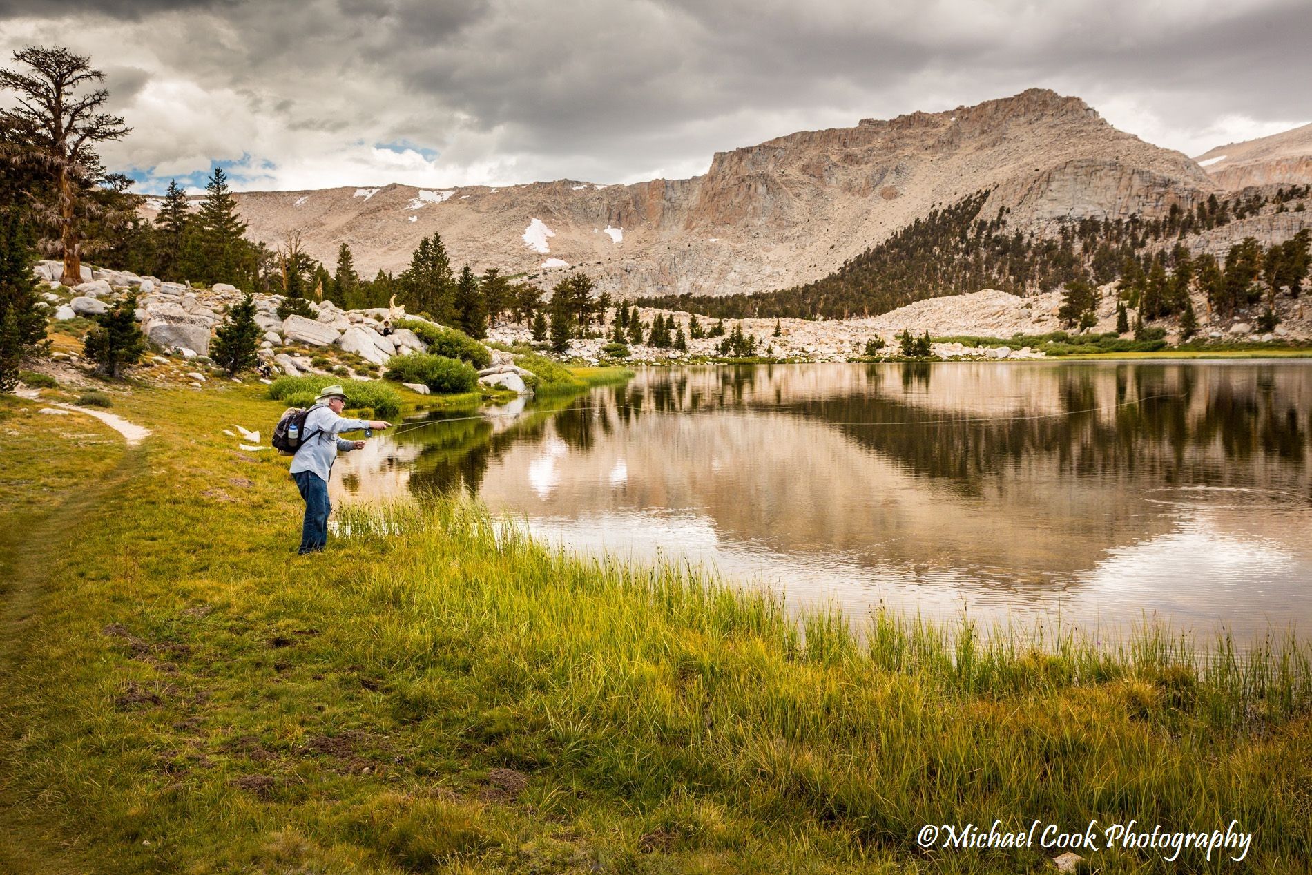
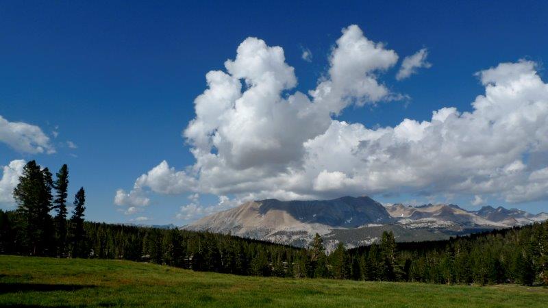
We offer HIKING and RIDING adventures in the Sierra Nevada, serving the Golden Trout Wilderness and the Sequoia-Kings Canyon National Park.
WILDERNESS PERMITS: All wilderness permits for our guests are provided through the Pack Station commercial quota allocation. These wilderness permits are not issued from the general public quota. If you are riding or hiking with us, the permit will be issued from our commercial quota.
NOTICE: “In accordance with Federal law and U.S. Department of Agriculture (USDA) civil rights regulations and policies, this institution is prohibited from discriminating on the basis of race, color, national origin, sex, age, disability, and reprisal or retaliation for prior civil rights activity. (Not all prohibited bases apply to all programs.)
Persons with disabilities who require alternative means of communication for program information (e.g., Braille, large print, audiotape, American Sign Language, etc.) should contact the responsible State or local Agency that administers the program or USDA’s TARGET Center at (202) 720-2600 (voice and TTY) or contact USDA through the Federal Relay Service at (800) 877-8339. Additionally, program information is also available in languages other than English.
To file a complaint alleging discrimination, complete the USDA Program Discrimination Complaint Form, AD-3027 , found online at http://www.ascr.usda.gov/complaint_filing_cust.html , or at any USDA office or write a letter addressed to USDA and provided in the letter all of the information requested in the form. To request a copy of the complaint form, call (866) 632-9992. Submit your completed form or letter to USDA by: (a) mail: U.S. Department of Agriculture Office of the Assistant Secretary for Civil Rights, 1400 Independence Avenue, SW, Washington, D.C. 20250-9410; (b) fax: (202) 690-7442; or (c) email:program.intake@usda.gov.”
“USDA is an equal opportunity provider, employer, and lender.”